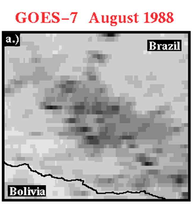
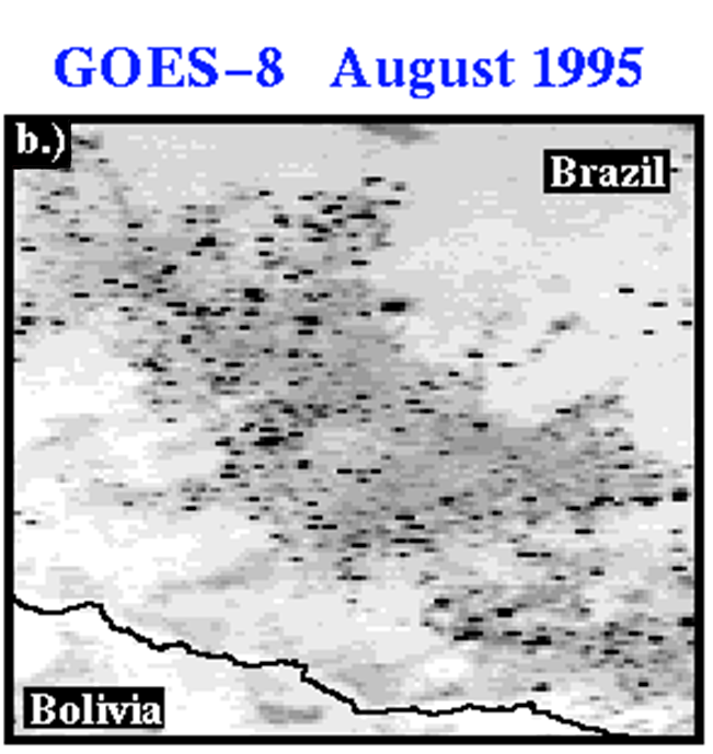
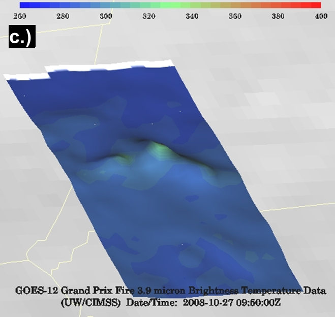
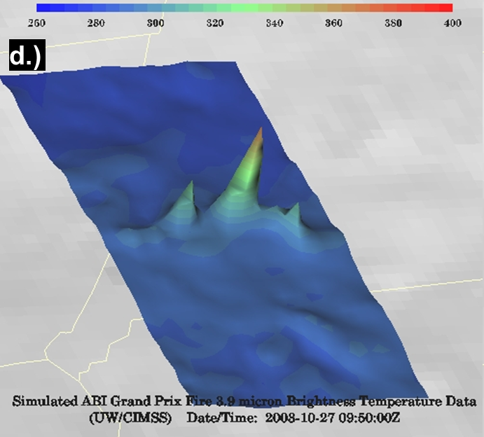
HistoryBeginning with the first generation of satellite fire detection algorithms, the Automated Biomass Burning Algorithm (ABBA) was able to monitor fires with the GOES 4-7 VAS (Visible Infrared Spin Scan Radiometer (VISSR) Atmospheric Sounder) dating back to the early 1980s. Development continued as new GOES Imagers became available starting with GOES-8, the CIMSS Biomass Burning Group maintains an historical fire detection database dating back to the mid 1990s through the current generation of GOES Imagers. An example image from GOES-7 VAS is shown above right (a). The same region in Brazil detected by the higher resolution GOES-8 Imager from 1995 (b). Similarly, the GOES-12 Imager resolution is illustrated (c) over the Grand Prix Fire from 2003 to showcase the thermal contrast of modern-day geostationary imagers. A simulated GOES-R ABI scene (d) is shown to illustrate how the improved spacial resolution of GOES-R ABI will make fire signatures from space more identifiable. Since the year 2000, the GOES WFABBA has been providing half-hourly diurnal fire products for the Western Hemisphere in near real-time. The software was transitioned to NESDIS operations in 2002. Presently, the Global WFABBA provides geostationary coverage over the Western Hemisphere from a series of GOES satellites as well as coverage over Europe, Africa, Asia, and Australia with an ever expanding series of international satellites. Several historical and current case are provided on the case studies page The table below provides an overview of retired, current, and future WFABBA capable satellite platforms. |
   
|
Geostationary Satellites Capable of Fire Detection and Characterization | ||||||||||||||||||||||||||||||
Retired
| ||||||||||||||||||||||||||||||
Current
| ||||||||||||||||||||||||||||||
Future
|
Algorithm Description : History : Applications : Ongoing Work : People


